
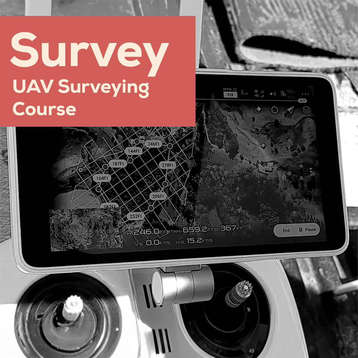
Drone Survey Course
Drone Survey Course
GST Exclusive
CAA Part 141 certified training organisation — certificate #TR104722
Couldn't load pickup availability
Turn your drone into a professional survey tool with the Drone Survey Course. Built for DroneTrust by DroneMate from years of hands-on industry experience, this course condenses professional survey skills into clear, practical video modules you can apply directly to your own equipment.
Not sure this is the right course? View full details
This course is for drone pilots who want to add professional surveying to their services, a strong way to generate additional revenue from equipment you already own.
Unlike DroneTrust's certificate courses, the Survey Course isn't a CAA requirement. It's a practical skills course. Each module walks through a real component of a drone survey, from setting flight borders to processing-ready data capture, so you can start applying what you learn immediately with your own survey tools.
Created in partnership with DroneMate, the course draws on real job examples and on-the-job shadowing footage throughout.
This course is a good fit if you:
- Already hold a drone pilot certificate and want to add survey work to your services
- Want a structured, practical introduction to drone surveying rather than a general drone course
- Plan to use flight-planning apps such as DJI Pilot 2 or Map Pilot Pro for survey work
Good to know: this course is not a legal requirement for drone surveying. It's a professional skills course designed to shorten your learning curve.
$434 covers:
- Full video course across 6 modules, plus introduction and summary
- Real-world examples, on-the-job footage, and demonstrations throughout
Not included:
- Survey hardware, GCP/RTK equipment, or flight-planning software subscriptions
- A drone pilot certificate (recommended before taking this course, not included in it)
Note: course must be completed within 12 months of purchase.
By the end of this course, you'll be able to:
- Create and import accurate flight borders in apps such as DJI Pilot 2
- Choose the right flight pattern, single grid, double grid, or corridor, for a given site
- Select flight height for the ground sampling distance and accuracy your survey needs
- Set overlap percentages appropriate to terrain and desired output quality
- Choose drone speed and camera settings to avoid motion blur and maximise image quality
- Establish and capture Ground Control Points (GCPs), and apply RTK corrections and checkpoints
No formal exam, this is a self-paced skills course rather than a certification.